Get lost in 100 trivia-filled infographic maps per book with the Maps for Curious Minds series!
Maps can change how we see the world—especially these maps, which are packed with eye-opening analysis, whimsical insight, and surprising connections that illuminate the contours of culture, history, and politics. Inside these unusual atlases, you’ll find the answers to all kinds of curious questions. Which countries drive on the “wrong” side of the road? Where was the first T. rex fossil found? How many humans live in high-risk areas for natural disaster? And where can you visit the world’s largest island in a lake on an island in a lake on an island? Richly illustrated and perfect for gifting, the titles in the Maps for Curious Minds series illuminate all this and more.
Indie Bestseller • 2019 Foreword INDIES Gold Winner
2019 OWL Award Winner—Gift & Special Interest • Junior Library Guild Selection
“Maps can tell you far more than where borders and beaches are located. Brilliant Maps for Curious Minds uses creative cartography to highlight assorted facts and figures.”—The Wall Street Journal
“[North American Maps for Curious Minds] is a captivating browse that will unobtrusively enlighten readers and upend things they thought they knew.”—Library Journal
“Information is beautiful and is beautifully arranged in the Maps for Curious Minds books. They’re a testament to the power of discovering facts and figures that you didn’t know you didn’t know.”—GeekDad
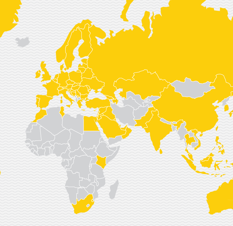 Culture & Customs No Chicken McNuggets here—the countries in gray don’t have McDonald’s! |
 Geography The Pacific Ocean is larger than the landmass of every single continent and island—combined. |
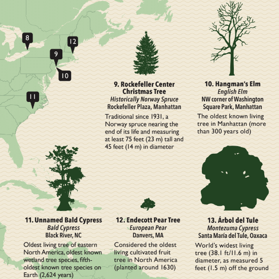 Nature North America is full of can’t-miss trees—like the world’s tallest tree in Redwood National Park! |
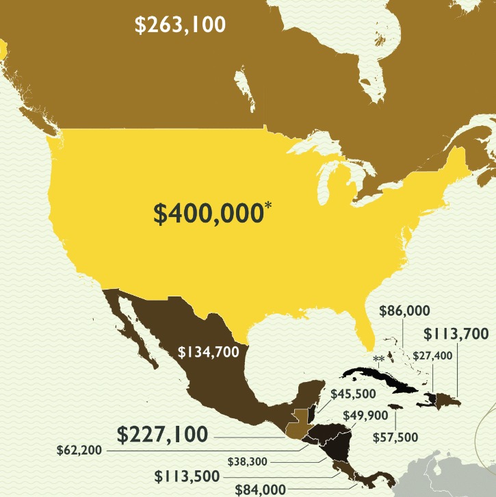 Money & Power The head of state in the USA makes more than those of both Canada and Mexico together. |


